Tuesday, May 24, 2005

Pt Reyes, Father/Daughter Backpacking Trip

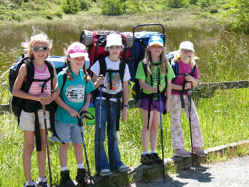
Ah, the second annual coastal father / daughter backpacking trip. We once again returned to Coastal Camp at Pt Reyes National Seashore. The hike is an easy 1.8 miles in and 3.1 miles out. These trips started because we wanted our daughters to fall in love with backpacking. We picked Point Reyes as the initial destination for several reasons. For the first couple of trips we wanted a short distance so we could slowly build up endurance. We were looking for a fun destination, and Point Reyes is packed with fun opportunities. Finally, we were looking for some place that wasn't too far of a drive. We figured a few fun trips and the girls would be hooked. Seems to be working. After this trip all the girls were asked when we could go next and they are also begging for trips to the sierras even though the distances will be longer.

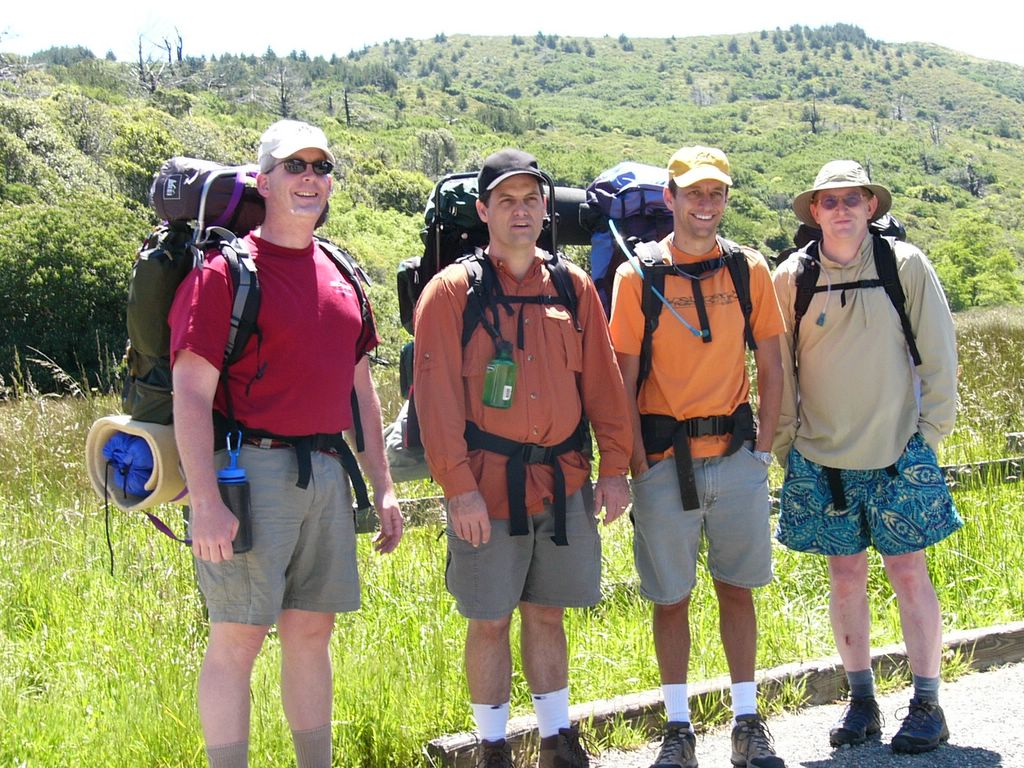
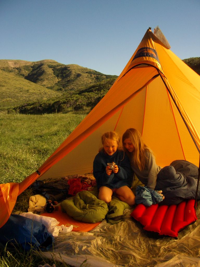
This year we added Bob and Katie, and lost Craig... so I was a "father" to Sarah for the weekend. We drove up the trailhead Saturday morning. The girls and the dads are ready to get going.


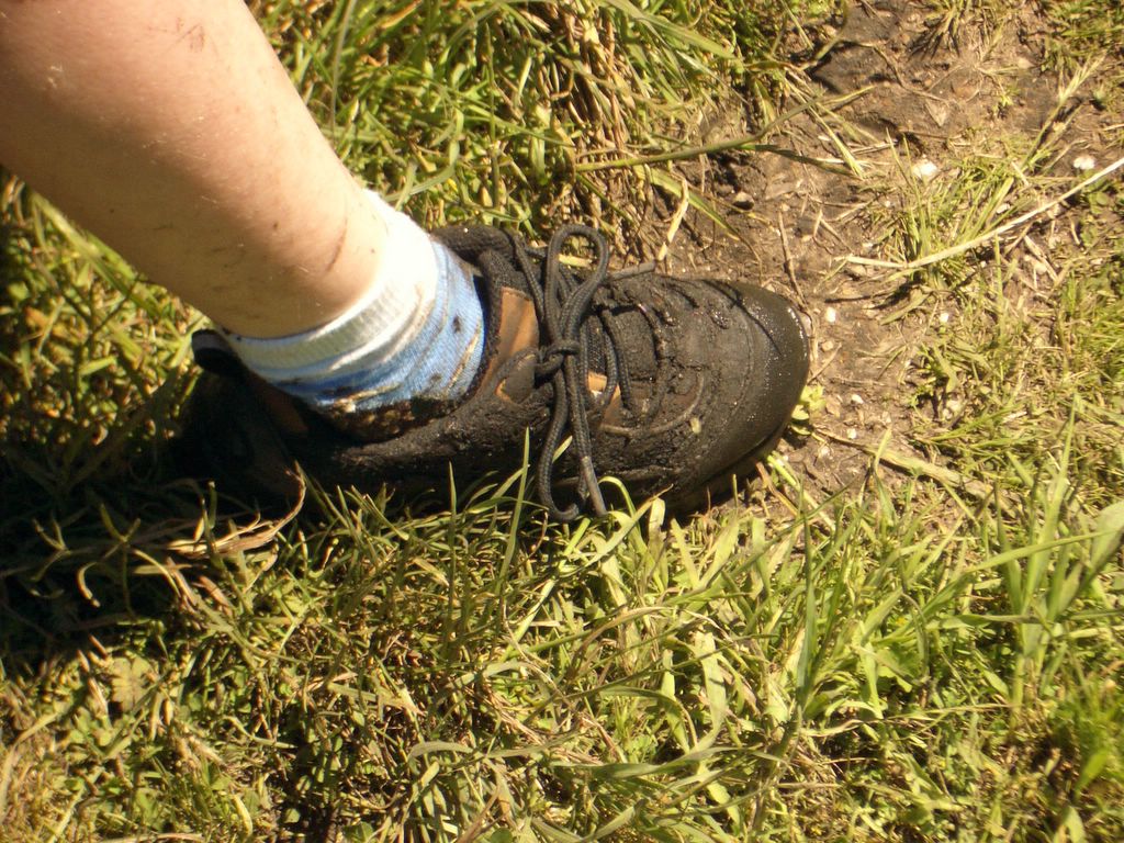
The trail had a few spots that were quite mucky. Helen lost her shoe until dad pulled it out of the muck, earning her the nickname "muddy shoes" for the rest of the trip.


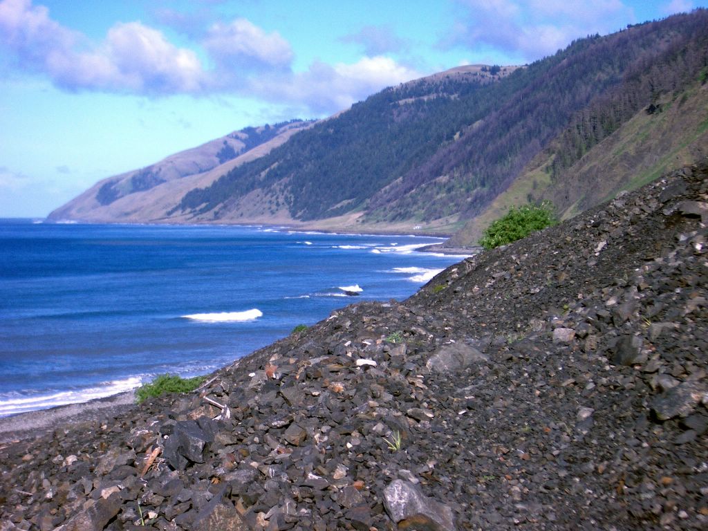
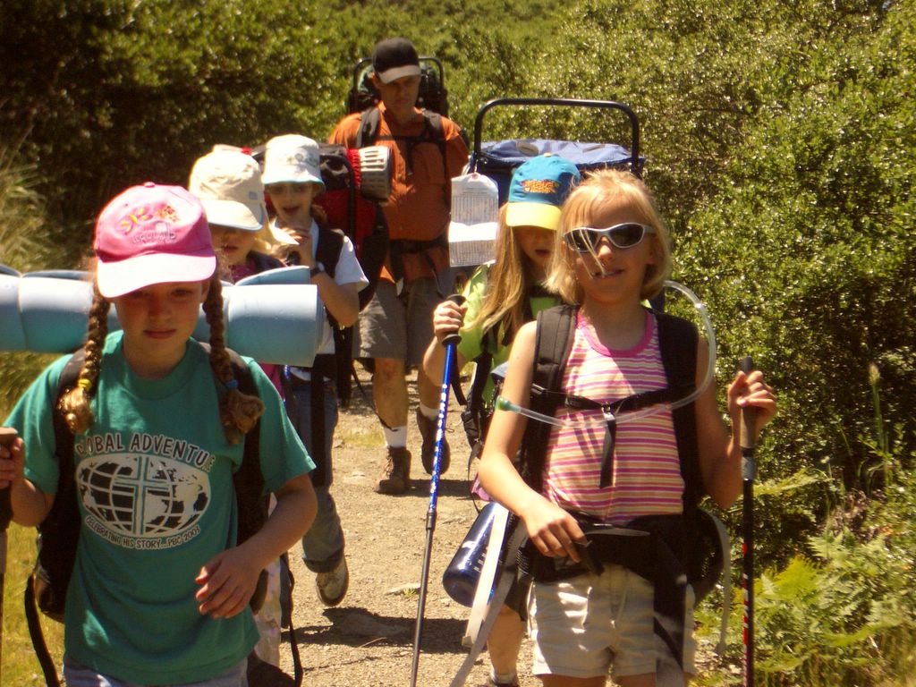
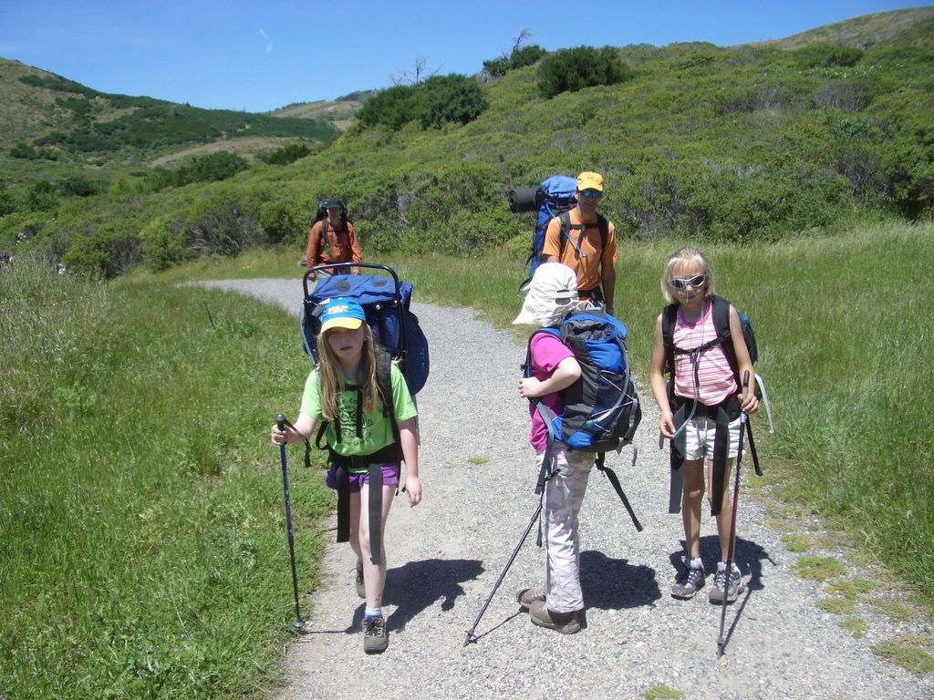
The hike was otherwise very pleasant. We stopped for lunch and saw some horse, and the continued over the hill to Coastal Camp.


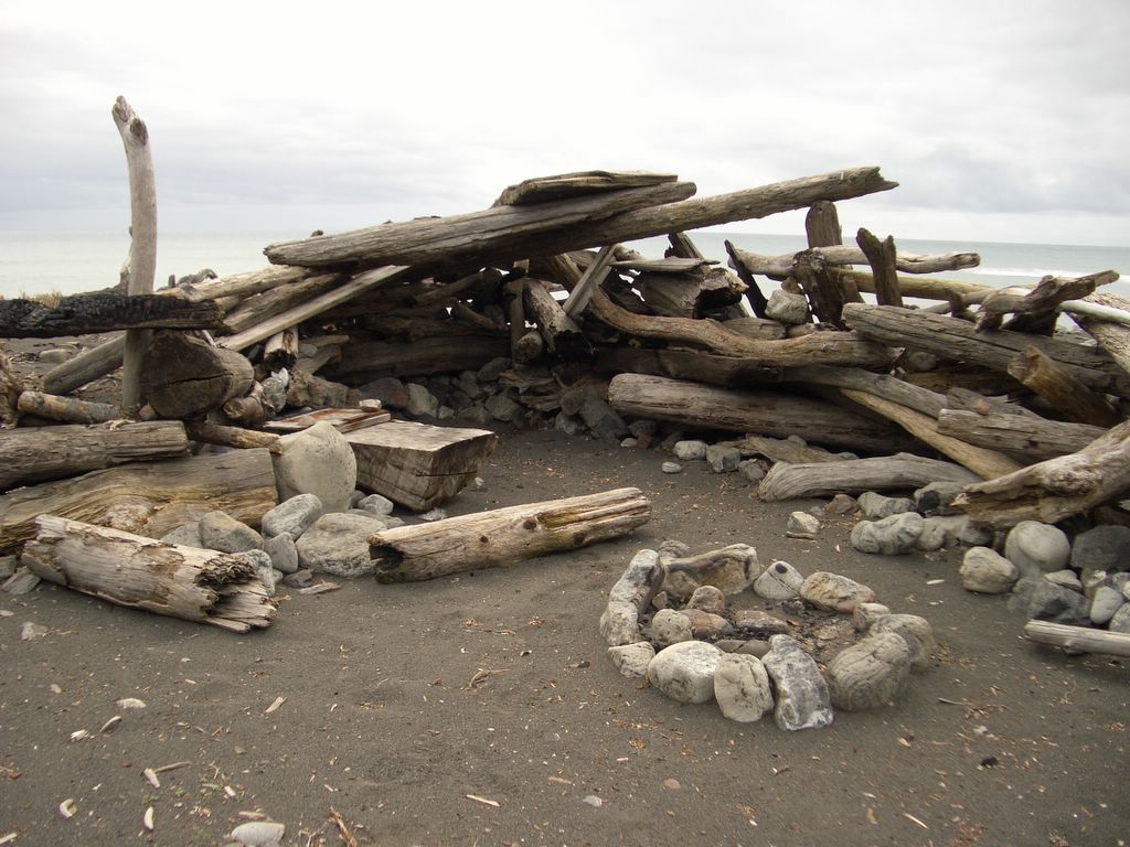
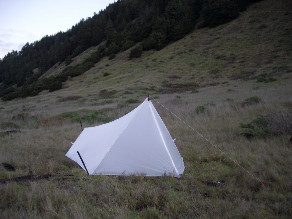
We set up camp and then got to the activities:

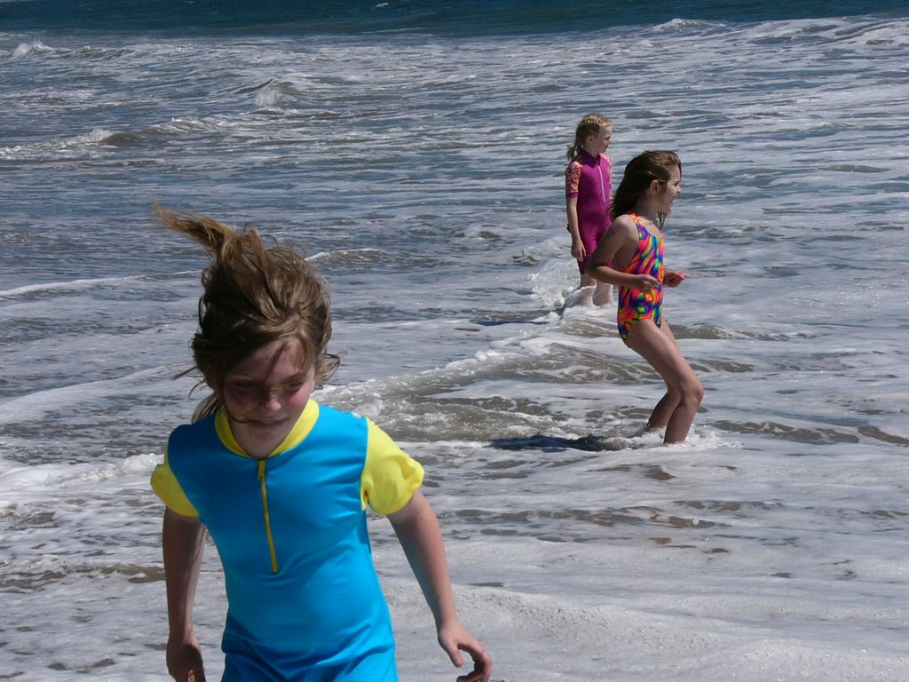
playing in the ocean


rolling down the hill
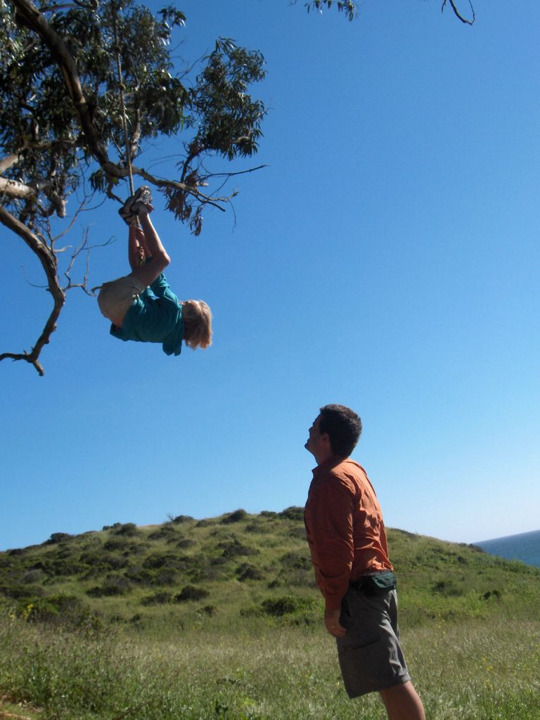

Hanging on the rope


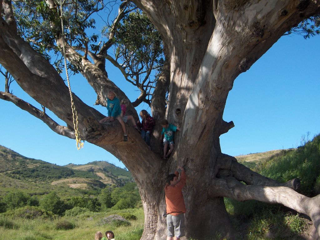
Climbing on the tree


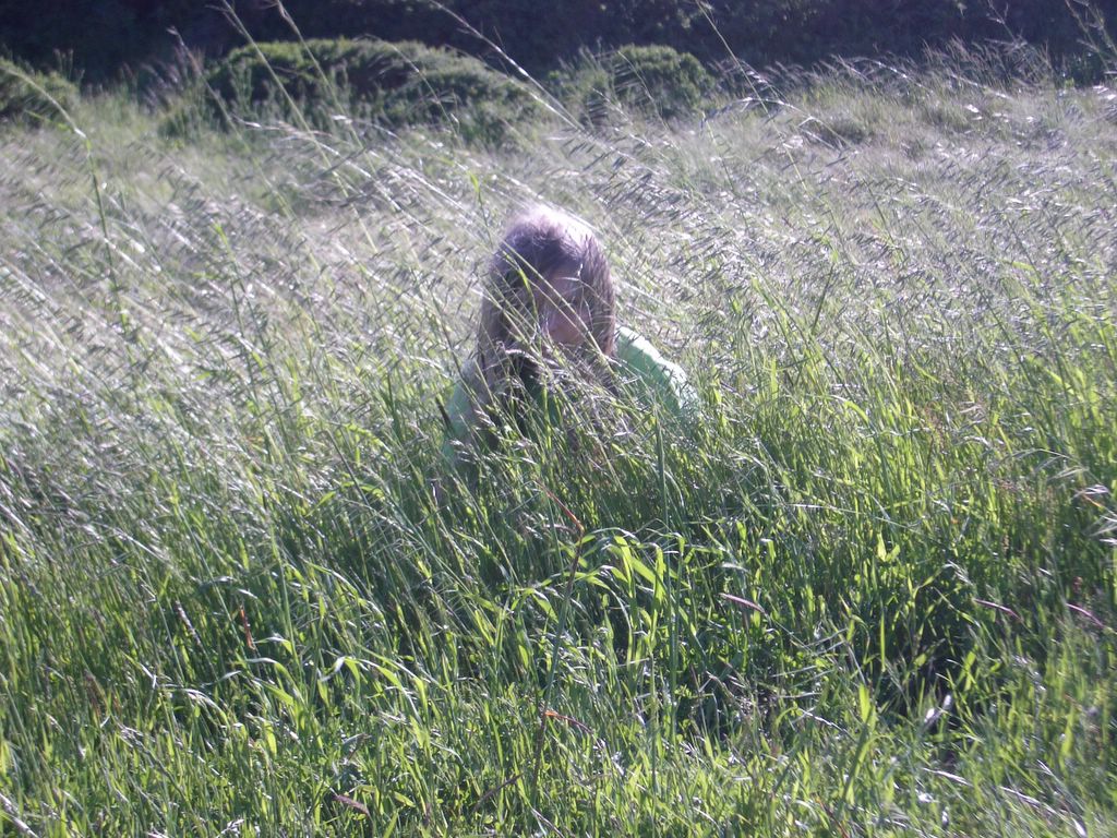
pretending to be tigers in the grass


just hang out with friends


play boot toss


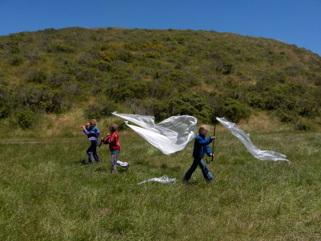
turn groundsheet into kites


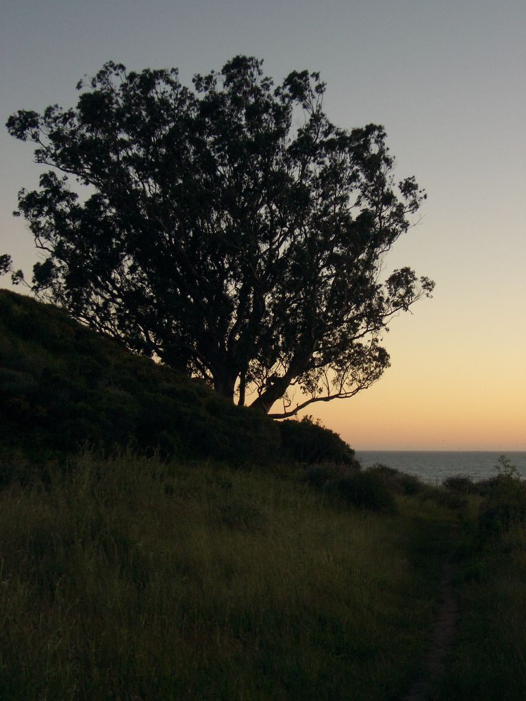
This trip was quite windy. It was normally blowing 8mph, with gusts in excessive of 25mph. So even though it only got down to 50F, it felt chilly in the evening thanks to the wind. As expected, sundown was pretty.


For more pictures, see a collection of our Father / Daughter BP: Pt Reyes (2005) set on flickr

Monday, May 16, 2005

Yosemite: Vernon Lake (almost) via Rancheria Falls

Helen and Libby were on a mother / daughter campout, so it was a perfect weekend to get away for a fast and light backpacking trip. I was hoping for getting into the high country, but this year the Sierras have received more than 170% of the normal snow fall.

I left work Friday afternoon and planned to pick up a wilderness permit at the Hetch Hetchy gate, and spend the night in the backpacker camp so I could get an early start Saturday morning. I was planning to do a loop up to Vernon Lake, camp over night, and then come back via Rancheria Falls. When I received my back country permit, the ranger warned me that a party got lost in the snow near Vernon Lake the previous weekend. A SAR had to be called, and the wives of the missing men were calling every five minutes. The ranger said they seemed well prepared and "had done their homework". Hmm... maybe I should alter my plans. I forgot my GPS, this is my first time to Hetch Hetchy, and my wife would kill me if I got lost.

Talking with the ranger, Amy, was the first of a number of encounters with people I have corresponded with over the last couple of years. Other people included Ken, a fellow light / ultralighters, John, Bob, and Tom who I know through a forum about backpacking in the California.

Early Saturday the hike started by crossing the Hetch Hetchy dam.


The entire trail around the Hetch Hetchy seemed to be lined by wild flowers. It almost looked like someone had purposefully planted the flowers along the path.


The valley must have been very beautiful before it was flooded. Sort of like a mini Yosemite Valley. It's hard to imagine than anyone would build a dam here. That said, the lake is pretty.


Once I got to Rancheria Falls I hiked up to Tiltill Valley. Along the way there was a fair bit of fire damage. Apparently, last year an arsonist hiked in and set a fire. Thankfully the blaze was started one day before the freak snow storm which cut the fire off before it damaged a larger area.


I found large sections of Tiltill Valley to be a soggy mess. I soaked my feet as I crossed. I seemed like I had plenty of time to make it to Vernon Lake so I starting hiking up.


Between Tiltill Valley and the top of the ridge I passed through some fire damage from a number of years ago. I was amazed at home peaceful and quiet this stretch of the trail seemed to be.


Eventually I got to a location where I was able to look out at the surrounding mountains.


Alas, Vernon Lake was not to be. Within two miles of the Lake I lost the trail in the snow. I normally would have gone cross country, but Amy's warning about the group the previous week, and my commitment to turn around if I didn't hit the lake by 4pm resulted in me coming back down. I thought about staying in Tiltill valley, but then I saw three bears, maybe a mountain lion, and I thought about getting my feet wet the following morning to get out of the valley. I thought that it might be a good idea to head down to Rancheria Falls since my feet were already wet, and then have a quick exit the following morning which would give me time to visit the valley floor.

So down I went. The moon was pretty bright which was useful for the last bit of the hike. The next morning I got our and the when for a run along the valley floor. 21 miles Saturday. 7 miles hiking, 7 miles trail running Sunday.

I was very pleased with the performance of Inov-8 Flyroc 310 trail running shoes. No blisters even though 13 of the 21 miles Saturday were in wet socks / shoes!

Tuesday, February 08, 2005

The Lost Coast

I started my hike of the Lost Coast in Shelter Cove. The view from the parking lot gives you a sense of the scenery for the rest of the hike.


The Lost Coast is a great place to find solitude. The King's Range rises from sea level to four thousand feet within three miles of the coast. The peaks cuts out light and noise pollution so common around the bay area. Even better, few people venture to the Lost Coast during the winter so you can often have large sections of the coast to yourself. I find this one of the best locations for quiet prayer and reflection. To consider God's goodness and listen for His voice.

On this trip I only saw three people: surfers who had carried their boards in six miles to Big Flat. There are a number of shelters made of drift wood which become home to surfers who are waiting for some good waves. Some of the shelters can be quite elaborate. Last year this shelter has four walls and a tarp roof. This year it is a wind break and a perfect place to stop and have a snack.


I also came to the Lost Coast because it is known for heavy rains and high winds. I was looking for a location to further test a Gossamer Gear Spinnshelter.


The weather obliged. Much of the first day I was walking through a constant drizzle. By five in the afternoon the drizzle turned into a solid rain which continued until four the following morning. This was perfect to test the Spinnshelter. The second day was absolutely beautiful demonstrating how variable the weather can be. The following pictures are taking from an almost identical location within a day of each other.


Overall this was a great trip. The only down side was that around sixteen miles in on the first day I pulled my knee as I leaped over a stream. Some friends have suggested that this is one example of how ultralight backpacking might have done more harm than good. They point out that if I had been carrying a sixty pound pack I wouldn't have tried to leap the stream and therefore wouldn't have pulled my knee. The hike back was slow.